SciTech Tuesday: The 71st Anniversary of Halsey’s Typhoon
On December 16 of 1944, 71 years ago, a Typhoon formed near the Caroline Islands, which are east of the Philippines. The Navy’s Weather Central was monitoring the storm, and predicted it would move North. At the same time the 3rd Fleet, a collection of 7 fleet carriers, 6 light carriers, 8 battleships, 15 cruisers, and 50 destroyers under the command of Admiral Halsey, was about 300 miles off of Luzon. They were providing air support for the invasion of the Philippines. Halsey’s own meteorologist, using reports from pilots, predicted the storm would move northeast. Both predictions had the track a few hundred miles from the 3rd fleet.
The ships in the fleet burned through fuel at a remarkable rate. They were riding high in the ocean with low tanks on 17 December, and were attempting to refuel. The weather got rough, with high seas, and the tanker lines disconnecting and spilling fuel. Halsey decided to move the fleet due west, and then south, and wait until calm to refuel. If the storm had been moving mostly north this would have been a good plan. Unfortunately the charted path took them straight into the storm’s path. As dawn approached on 18 December, Halsey and his fleet encountered very serious storm conditions, and again turned the fleet south, this time at 15 knots. More meteorological estimations were gathered, and at dawn they attempted to refuel again. High winds and seas forced them to stop the attempt.
The storm strengthened, and Halsey ordered ships to hold their positions and let the storm pass. In the early afternoon Halsey issued a typhoon warning. By that time he had lost 3 destroyers (Hull, Monaghan, and Spence), and the rest of his ships were scattered over 3,000 square miles of the Pacific. The carrier Monterey was in flames from planes that crashed into bulkheads and set fuel on fire. 790 men were dead or missing, and another 80 injured. 150 aircraft were lost or destroyed. Seas reached 50-60 feet, and winds were at least 115 knots.
On 26 December a court of inquiry was held at Ulithi Lagoon (very close to where the storm formed). The court ruled there was no negligence, but that Admiral Halsey had made errors of judgment. This event led to changes in ship construction, improvements in weather reporting, and the use of naval aircraft to gather storm data. The typhoon was named Cobra naval meteorologists, and has come to be called Halsey’s Typhoon.
NOAA has archived the original weather maps from WWII–you can find the map for 18, December 1944 here
Posted by Rob Wallace, STEM Education Coordinator at The National WWII Museum.
-
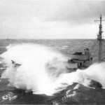
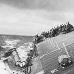
- Oil tankers attempted to refuel ships, but the weather was too rough.
-
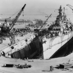
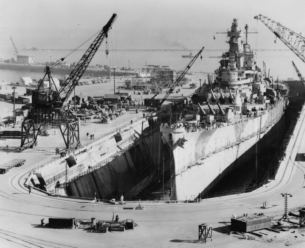
- The USS Iowa in dry dock in San Francisco,
-
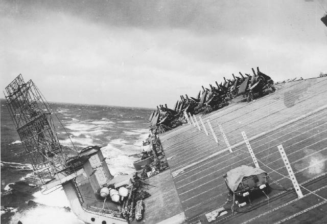
- The fleet's ships, like the USS Cowpens shown here, rolled and pitched, causing them to take on water, and for planes aboard to be lost or damaged.
-
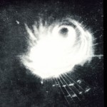
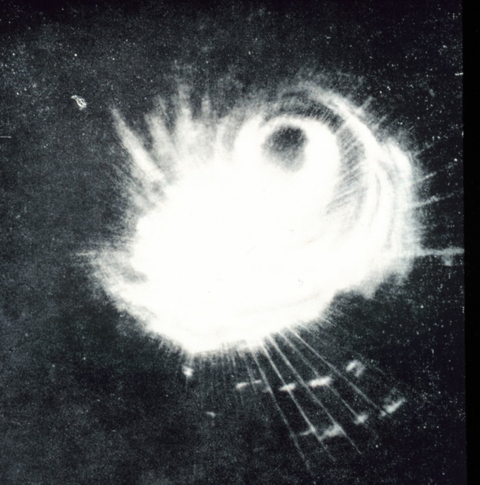
- One of the ships caught the storm on its radar. It was only the second ever image of a typhoon on radar, so they didn't really know how to make use of it.
All images from Wikimedia Commons

Leave a Reply